CONTEXT
Canary Islands is one of the 17 Autonomous Regions in Spain, conformed by 8 main islands.
The Islands suffer from devastating and threatening forest fires mostly caused by humans. Nevertheless, as the Canary Islands are of volcanic origin, vegetation is often adapted to fire.
The Living Lab will focus first in Gran Canaria Island. This is the second largest and most populated island in Canary, spanning over 1560 km2 and divided in 21 municipalities, holding a population of around 0.9 million people.
Gran Canaria is an important touristic destination (around 5 million turists per year) and recently has suffered large forest fires, such as Valleseco in 2019.
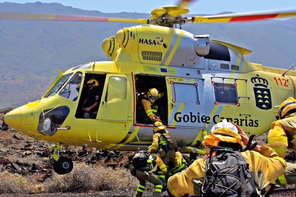
FIRE MANAGEMENT IN THE CANARY ISLANDS
The Canary Islands Government (GobCan) is the institution in charge of executive competencies of the Regional Autonomy of Canary Islands. Articulated through Councils and implemented in the different islands self-governing entities (Cabildos), equivalent to counties. GobCan has full competency in prevention, suppression and emergency management of forest fires through a co-ordinated regional strategy (INFOCA) working hand on hand with Cabildos and municipalities.
Regional forces in charge of fire suppression are firefighters, forest fire fighters and local volunteers. Moreover, each municipality relies upon its local civil protection, co-ordinated with regional entities, that participate to fire suppression. In the case of large fires, the cabildo of each island takes over. Extra resources in Level 2 fires are requested to the government of Spain.
INNOVATION ACTIONS
Advanced Technology Solutions - Support Tools for Integrated Fire Management
IA 5.2. Demonstration of real-time EWE simulation and smoke spread based on coupled fire-atmosphere approaches using of HR weather data
IA 5.4. Piloting models for fire combustion and Pyrocumulonimbus with use of HR data
IA 5.5. Testing of vertical atmospheric structure models based on satellite constellation in EWE
IA 5.10. Development of a Pan-European system to define management priorities to mitigate fire impact
CHALLENGES
- Presence of Wildland Urban Interfaces areas
- Ageing of population, loss of traditional uses and practices
- Characterized by small pieces of land and lack of official register makes hard to work with private land owners
- Real need for more personal in the islands to implement strategies
PARTNERS
{{ group }}
{{ object.name }}
{{ object.name }}
{{ object.subheader }}
{{ icon.replace(/^icon_/, '') }}
{{ label }}
Contact
David Caballero
- Gobierno de Canarias
- davidgobcan@gmail.com
Julio Herrero
- Gobierno de Canarias
- jherseg@gobiernodecanarias.org