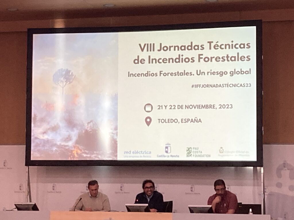
Toledo, Spain – In a collaborative effort, José Ramón González Olabarría from CTFC, and Erico Kutchartt from UNIPD recently presented the results from the FIRE-RES Innovation Action 5.10 at the VIII Jornadas Técnicas de Prevención de Incendios Forestales 2023.
Within the framework of the FIRE-RES Innovation Actions, the team has developed raster layers employing earth observation data, allometric equations, and artificial intelligence to simulate forest fires in a pan-European system. The first layer focused on aboveground biomass (AGB), utilizing 49 features as independent variables to predict AGB with a spatial resolution of 100 meters.
Subsequent layers included canopy base height (CBH) in meters, canopy bulk density (CBD) in kg/m3, and superficial fuel models based on the Scott and Burgan methodology. The CBH map was generated using a tree species map, featuring the 16 most important tree species in Europe.
Allometric models, incorporating data from national forest inventories and local studies in Spain, Portugal, Norway, Italy, and Germany, were developed for species-specific predictions. The AGB and tree species map were then leveraged to extract foliage mass for the CBD map.
To validate superficial fuel models, the team developed the FIRE-RES Geo Catch App, a mobile application enabling the collection of geotagged images for accuracy in position and orientation, facilitating follow-up research.
The presentation took place at the VIII Jornadas Tecnicas de Prevencion de Incendios Forestales 2023, an annual conference initiated by the Regional Government of Castilla-la Mancha. The conference serves as a platform for professionals involved in fire prevention and firefighting, fostering discourse on current and future challenges in the management of forest fires in Spain.