IA 2.1 Improving data acquisition for landscape design based on novel remote sensing methods
OVERVIEW
What kind of result is this? | Update and new methodologies based on remote sensing data | |
What’s the area addressed? | Ecosystem Conservation and Landscape design | |
What’s the covered phase? | Prevention and Preparedness | |
What’s the addressed challenge? | How to transform remote sensing data into information to take preventive decisions? | |
What value is proposed? | Providing methodologies and lessons learned on how to use Earth Observation data, with their main advantages and limitations, to generate key geoinformation to support decision tools for a better preventive management of forestland landscape | |
Who can use it? | Firefighters and policymakers in charge of forestland management | |
What type of tool is it? | Map/remote sensing | |
How does it look like? | Cartography layers (SIG) | |
This tool is… | ☐ a new tool | ⊠ an improved tool |
What are the vision & mission statement? | Through the use of satellite images and high-resolution airborne LiDAR, new and improved layout will be generated to better a) define the configuration and state of the landscapes vegetation and b) evaluate fuel and other relevant metrics as forest structure, post-fire recovery, status of forest tracks or configuration of WUIs. | |
When will it be complete? | Mid 2024 | |
Documentation | D2.1 “Improving data acquisition for landscape design based on novel remote sensing methods“ Publications in process: De Lera Garrido, A., Hauglin M. 202X. Detecting clear cut harvest with Sentinel1 and Sentinel2 satellite data (manuscript). De Lera Garrido, A., Wielgosz, M., Hauglin, M. 202X. Modelling surface fuel using Airborne laser scanner data (manuscript). Lange, H., Søvde N., Hauglin, M., Schumacher J., De Lera Garrido, A., Solberg, S., 202X. Detection of bark beetle damages using Sentinel2 satellite imagery and machine learning. (manuscript). Martin-Ducup et al. (in prep): Unlocking the potential of ALS data for direct assessment of fuel load and vertical structure. Pukkala, T., Aquilué, N., Trasobares, A., Just, A., (in prep): Developing kNN forest data imputation for Catalonia | |
This IA is implemented in the Living Lab(s)… | ||
Media coverage of the I.A.

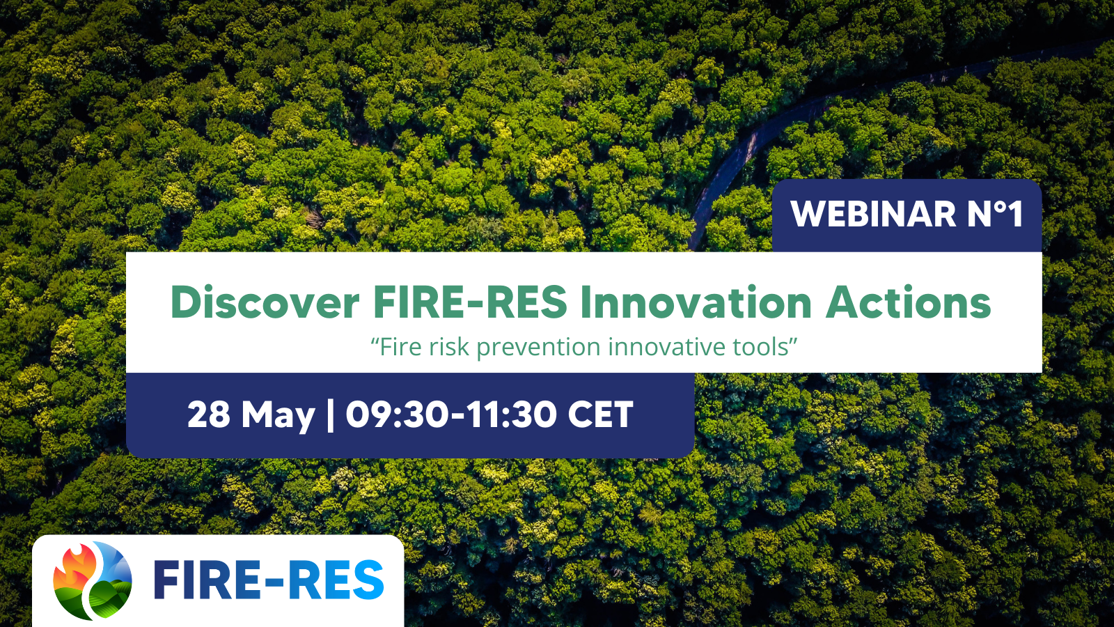
FIRE-RES Innovation Actions: Webinar N°1
The European Institute for Planted Forest (IEFC) is hosting a series of webinars to introduce the project’s Innovation Actions to the public. The first session will showcase highlights and results
Contact

Jordi Corbera
Head of Catalan Earth Observation Centre
- Institut Cartografic de Catalunya
- jordi.corbera@icgc.cat

Julià Talaya
Deputy Director of Geodesy and Cartography at the Cartographic and Geological Institute of Catalonia (ICGC)
- Institut Cartografic de Catalunya
- julia.talaya@icgc.cat

Marius Hauglin
Research Scientist
- Norwegian Institute of Bioeconomy Research (NIBIO)
- marius.hauglin@nibio.no