The European Data Journalism Network is carrying out an investigation on wildfires across Europe. The latest article by Kostas Zafeiropoulos published on EDJNet and MIIR, critically assesses the fire-risk forecast map used by the Civil Protection to predict wildfires.
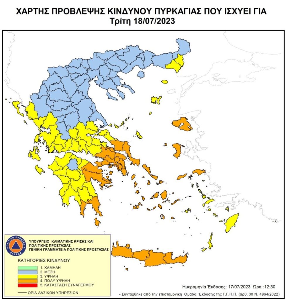
Greece’s wildfire prediction map is facing criticism for its lack of transparency and failure to account for real-time weather changes, resulting in an inadequate response to the rapidly evolving conditions of fires. In July 2023 alone, 470,000 acres of Greek forest were reduced to ashes, exposing the limitations of the state’s machinery in dealing with extreme weather phenomena. The existing map, issued daily by the General Secretariat of Civil Protection, is under scrutiny for its unclear scientific data sources, infrequent updates throughout the day, and a one-size-fits-all approach to entire regions, disregarding local climatic variations.
The map, in use since 2003, has raised concerns among experts. The article interpellates several experts about the map’s limitations. Kostas Lagovardos, a meteorologist and research director at the National Observatory of Athens, suggested that the map lacks clarity regarding the exact scientific data it employs. Andrianos Gourbatsis, a lieutenant-general and former deputy chief of the Fire Service, emphasizes the critical need for more dynamic and data-driven approaches in wildfire management, pointing out that the map’s failure to adapt to changing meteorological data throughout the day could lead to misguided risk assessments.
The primary drawback identified by experts is the map’s once-a-day issuance, not accounting for the frequent variations in weather conditions during the day. Another significant issue highlighted is the uniform treatment of entire regions without considering local variations, potentially dispersing firefighting resources inefficiently, as diverse climatic conditions within the same prefecture could lead to substantial differences in the pyro-meteorological situation.