Wildfires play an important role in terrestrial ecosystems, representing not only a critical disturbance but also a threat to the environment and society if a careful management plan is not implemented. This is why it is particularly important to map the available fuel and its characteristics, as it is fundamental to the prevention, monitoring, and behavioural prediction of wildfires. In other words, to characterise risk conditions and act consequently.
new scenarios: how to mitigate ecological and economical damages
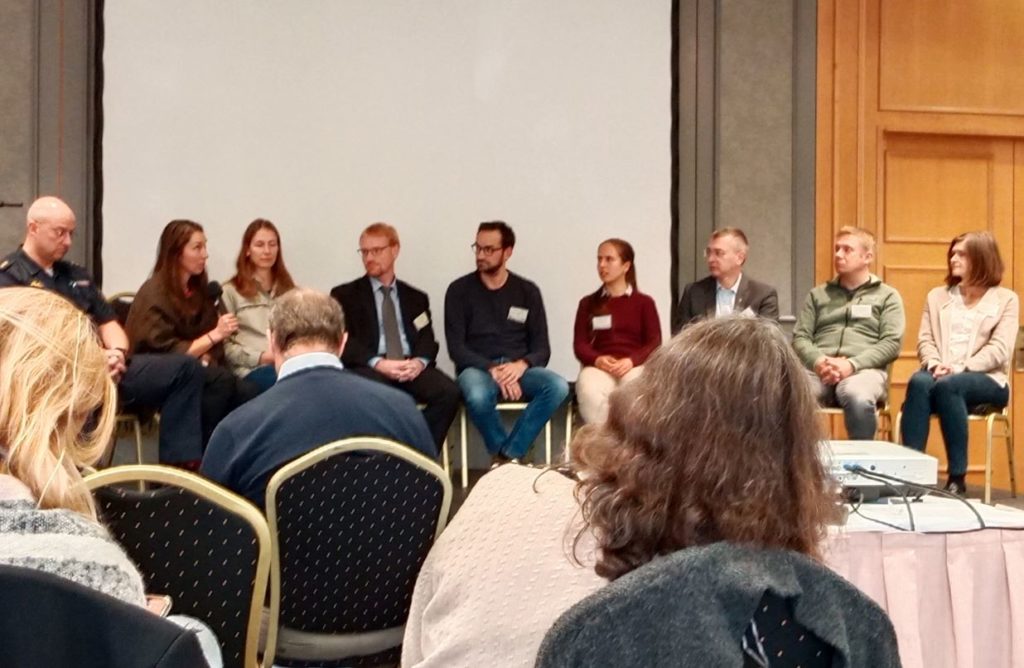
In this regard, the H2020 project FirEUrisk has been actively developing methodologies to map the availability and the characteristics of fuel types in Europe. These methodologies were shared and discussed together with FIRE-RES during a symposium organised by FirEUrisk project in Dresden on the 12th of October. Creating dialogue and synergies between fire-related projects is key to empowering the community in the face of current and future wildfire challenges. The symposium was particularly interesting for FIRE-RES because it was an opportunity to increase knowledge on how to map fuel availability at the European level in light of the future work that will be carried out.
More specifically, FIRE-RES will build on the methodologies developed in FirEUrisk regarding fuel mapping, including as regards to obtaining important fuel-related data through earth observation. FIRE-RES will also study new strategies for fire mitigation simulation through the collection of geographic data (e.g., biomass, fuel types, moisture content) to be elaborated through a GIS software[1]. This will help improve the reliability of fire simulations, mitigation, and decision-making in at pan-European level, by defining areas where fuel management should be a priority.
next steps and future collaboration with fireurisk
In the context of the collaboration between FIRE-RES and FirEUrisk, it will be crucial to identify gaps and needs between both project regarding fuel mapping. A concrete action could be the exchange of data collected on specific sites used for validating remote sensing models. This may allow to make progress on the definition of protocols for modelling and mapping information related to crown fuels[2], adding the potential to simulate the initiation and spread of high-intensity crown fires.
Authors: Erico Kutchartt (UNIPD), Elena Feo (Euromontana)
[1] A geographic information system (GIS) is a system that creates, manages, analyzes, and maps environmental data. GIS connects data to a map, integrating location data (where things are) with all types of descriptive information (what things are like there). This provides a foundation for mapping and analysis that is used in science and almost every industry. GIS helps users understand patterns, relationships, and geographic context. The benefits include improved communication and efficiency as well as better management and decision making.
[2] Fire that burns in the crowns of trees and shrubs. Usually ignited by a surface fire.